General Aviation Manufacturers Association.
A type of support that allows an object, such as a gyroscope, to remain in an upright condition when its base is tilted.
Satellite navigation system that provides autonomous geospatial positioning with global coverage. It allows small electronic receivers to determine their location (longitude, latitude, and altitude) to within a few meters using time signals transmitted along a line of sight by radio from satellites.
Navigation system that uses satellite rather than ground-based transmitters for location information.
See global navigation satellite system.
See global positioning system.
See ground proximity warning system.
The illusion of the cessation of a turn while still in a prolonged, coordinated, constant rate turn, which can lead a disoriented pilot to a loss of control of the aircraft.
The shortest distance across the surface of a sphere (the Earth) between two points on the surface.
Non-movable metal trim tab on a control surface. Bent in one direction or another while on the ground to apply trim forces to the control surface.
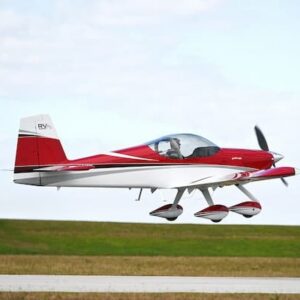
The condition of slightly increased air pressure below an airplane wing or helicopter rotor system that increases the amount of lift produced. It exists within approximately one wing span or one rotor diameter from the ground. It results from a reduction in upwash, downwash, and wingtip vortices, and provides a corresponding decrease in induced drag.
A system designed to determine an aircraft’s clearance above the Earth and provides limited predictability about aircraft position relative to rising terrain.
Speed over the ground, either closing speed to the station or waypoint, or speed over the ground in whatever direction the aircraft is going at the moment, depending upon the navigation system used.
See ground proximity warning system.
An inherent quality of rotating bodies, which causes an applied force to be manifested 90° in the direction of rotation from the point where the force is applied.