By Chris Webb
History is full of famous quotes regarding travel, journeys, and destinations. A Chinese proverb once said, “a journey of a thousand miles begins with the first step.” Ralph Waldo Emerson was quoted with saying “life is a journey, not a destination.” Both quotes have one thing in particular in common: you are going to have to navigate to find your way. In aviation, there are many different forms of navigating. The most popular are pilotage, dead reckoning, radio navigation (i.e. VORs) or astronomical navigation (i.e. GPS).
Dead reckoning is the form of navigation that occupies the majority of our time. Ironically, it is also the least accurate. Dead reckoning uses forecasted weather to guess where you will be in your journey after some time. It is very important to start our planning with this form of navigation because it shows us what our route of flight looks like, and allows us to determine where suitable airports are located for our landings. It helps us to predict when fuel is running low, and when it is time to land for more fuel. It helps us identify a mustering or rendezvous point and also enables us to designate a moment of time in the future to decide if we are able to continue on with our journey. All the research and calculations are done during this phase of navigation.
Once we take off, the other forms of navigation come into play.
Radio navigation is next in line in terms of accuracy and it enables us to tune in and cross-reference our position using one or more VORs. In terms of flight, radio navigation can help you identify which city you are flying past.
Radio navigation is a wonderful tool to use to make sure you are in the right spot, to increase your dead reckoning accuracy and to enable you to make accurate course adjustments as necessary. This means that you need to be familiar with the local sectional chart, as well as the chart symbology. By the time a VOR is cross-referenced and checked on a sectional, the aircraft has moved! So, be prepared to take several or continuous readings.
Next, we will look at GPS which is a type of radio navigation. It is far more accurate than VOR navigation, and certainly much more accurate than dead reckoning.
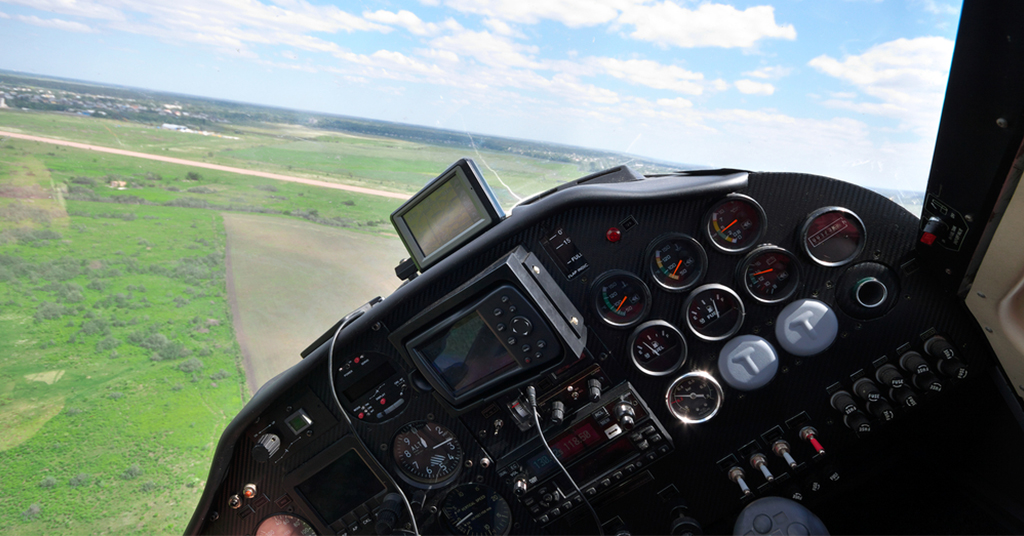
Believe it or not, pilotage is still the most accurate form of navigation. The simple act of looking outside and cross-referencing what you see with your sectional. Even though the GPS’s navigation is becoming legendary, it still cannot guide you to a parking spot or show you how to enter a traffic pattern. Pilotage actually plots into the future. Looking outside enables you to find yourself crossing over a highway flying towards an airport. You subconsciously plot out your flight path and determine the fastest and easiest way to arrive at your destination. You do this every day whether you are standing in a grocery store trying to decide which line to go into, or looking for a parking spot in a parking lot. You determine your position which registers parking spots that are open, the distance to those registers and parking spots, and even the path you need to take! GPSs cannot do that, only pilotage can.


