


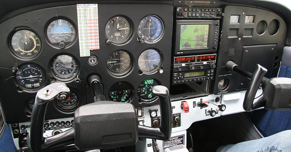


The development of GNSS (Global Navigation Satellite System) or GPS has upgraded the accuracy of the Airways around the world. The WAAS (Wide Area Augmentation System) was added to the
GPS to further enhance the positional accuracy. Using an advanced FMS (Flight Management System), today’s airplanes are capable to fly routes with less separation of aircraft, conduct approaches with reduced minimums and in some cases conduct approaches with no ground-based equipment installed.
RNAV
Random Area Navigation (RNAV) has been long defining flight that allows point-to-point navigation. RNAV systems evolved in a manner similar to conventional ground-based routes and
procedures. A specific RNAV system was identified (INS, IRU, even LORAN “C”) and its performance was evaluated through a combination of analysis and flight testing. This is opposed to VORonly navigation that requires following routes that pass along radials of the VORs. These early non-GPS systems had a few restrictions, such as slant range, DME-DME updating and great circle route limitations. When GPS became available, these restrictions were removed. An FMS with GPS navigator created an RNAV capable system. These improvements can conserve flight distance, reduce congestion, and allow flights into airports without beacons. Additionally, ATC is able to reduce the separation between aircraft, especially over the oceans. Reduced Vertical Separation Minimum (RVSM) airspace was reduced, which allows more aircraft onto the North Atlantic Track (NAT) system and reduces the delays that were common departing Europe.
RNAV AIRWAYS
The United States of America’s domestic foundation of the RNAV route system started in 2000 with industry operators requesting the FAA to increase the use of RNAV to help navigate the nation’s airspace.
Two types of RNAV routes were created:
- Q-routes (high) are available for use by RNAV-equipped aircraft between 18,000 feet MSL and FL 450 inclusive. Q-routes are depicted on Enroute High Altitude Charts.
- T-routes (low) are available for use by RNAV equipped aircraft from 1,200 feet above the surface (or in some instances higher) up to, but not including, 18,000 feet MSL. T-routes are depicted on Enroute Low Altitude Charts.
RNP
The improved level of accuracy provided by the Satellite Based Augmentation System (SBAS) and Wide Area Augmentation System (WAAS) led the Aviation industry to a PBN (Performance
Based Navigation) route and approach system. The term Required Navigational Performance (RNP) is used to numerically define these PBN routes and procedures. Your aircraft must be capable of providing these PBN limits in order to utilize these new routes and procedures. In simple terms, an RNP 1 says your aircraft will be within 1 nm of centerline 95% of the time. A 2nm area is protected, since there is no assurance that a deviation outside the 1nm will not be exceeded. In Europe, Basic Area Navigation (B-RNAV) and Precision Area Navigation (P-RNAV) have been in use since 1998 and are mandated for aircraft using higher level airspace. B-NAV & P-NAV require a minimum navigational accuracy defined using PBN and are not approved for use below MSA.
Here are some common RNAV PBN examples:
• RNP 1 requires a lateral accuracy value of 1 for arrival and departure in the terminal area and the initial and intermediate approach phase.
• RNP 2 will apply to both domestic and oceanic/remote operations.
• RNP 4 will apply to oceanic and remote operations only.
• RNP−10 routes have been established in the northern Pacific (NOPAC).
RNAV and RNP systems are fundamentally similar. The key difference between them is the requirement for onboard performance monitoring and alerting, when operating under RNP.
Many RNAV systems offer very high accuracy and possess many of the functions provided by RNP systems, but are not able to provide assurance of their performance. To avoid operators
incurring an unnecessary expense when the airspace requirement does not necessitate the use of an RNP system, many new and existing navigation requirements will continue to specify RNAV
systems, rather than RNP. Therefore, it is expected that RNAV and RNP operations will co-exist for many years. While RNAV and RNP applications will co-exist for a number of years, it is expected that there will be a gradual transition to RNP applications as the proportion of aircraft equipped with RNP systems increases and the cost of transition decreases.
(Note: RNP-10 is used synonymously with RNAV-10. No requirement for monitoring and alerting onboard system)
Clear Skies and Soft Landings,
Captain Richard Hyslop