


By: Captain Richard Hyslop
I often get asked what changes I have observed in aviation since my Cessna 140 days in the late 60s. We now fly faster, higher and farther. The yank and bank days have been replaced by flight management systems. The autopilots can fly more accurately and give passengers a better ride than most skilled pilots. But to me the biggest change has come about with the introduction of GPS. The fact that we can take off and fly half way around the world, shoot an approach and land without the need for a single ground-based navigation station is mind boggling.
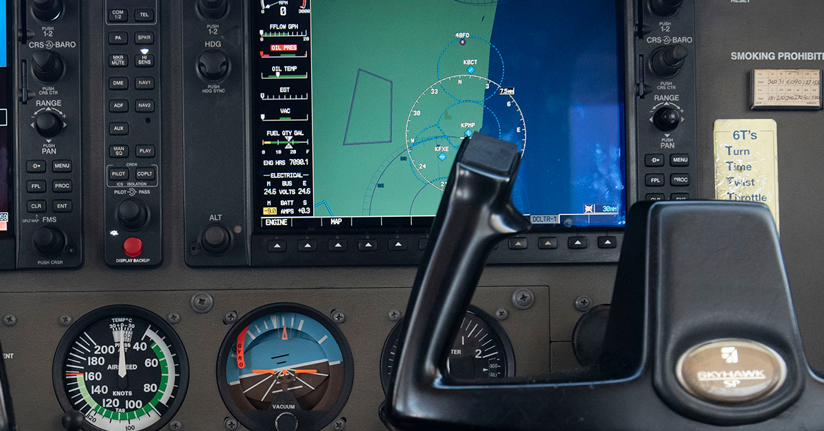
Everyone today is aware of the name GPS (Global Positioning System), but few understand the evolution of this very powerful navigation aid. What follows is a short history of GPS and all the different terms that were created to describe advancements in this powerful tool.
Originally, GSP was a U.S. military project. During the Cold War, a Korean airliner got off course on a flight from New York to Seoul, flew into Russian airspace and was shot down by the Soviets, and 250 people were killed. As a result, then president Ronald Reagan announced that GPS, which at the time was only accessible to the military due to encryption on the satellites, would become available to all civilians in order to stop this from happening again.
There are currently two codes transmitted from satellites: a military code and a civilian code. The U.S. Military still reserves the right to temporarily disable GPS non-military use in certain areas. For example, it was disabled over Iraq at the beginning of the war. There are 24-31 GPS satellites flying in medium Earth orbit at an altitude of approximately 12,550 miles. Each satellite circles the Earth twice a day. This ensures users can view at least four satellites from virtually any point on the planet.
Other countries have launched their own satellite-based systems to avoid being solely reliant on the U.S.-based system. Russia has GLONASS and the European Union is launching Galileo around 2020. India and China also have launched satellites that currently serve as a regional network.
All of these systems, GPS, GLONASS, Galileo and others, comprise the Global Navigation Satellite System (GNSS). There is a subset of GNSS called Satellite-based Augmentation System (SBAS). Under this subset is the U.S. Wide Area Augmentation System (WAAS), Europe’s’ EGNOS, Japan’s MSAS and India’s GAGAN. These subsets brought a new level of accuracy to the GNSS.
The Wide Area Augmentation System (WAAS) and what International Civil Aviation Organization (ICAO) calls a Satellite-based Augmentation System (SBAS) is an air navigation aid developed to augment the Global Navigation Satellite System (GNSS), with the goal of improving its accuracy, integrity and availability. Essentially, WAAS or SBAS is intended to enable aircraft to rely on GPS or GNSS for all phases of flight, including precision approaches to any airport within its coverage area. It may be further enhanced with the Ground-based Augmentation System (GBAS) in critical areas.
The network of ground-based reference stations measure small variations in the satellites’ signals. Measurements from the reference stations are routed to master stations that send the correction messages to geostationary satellites. Those satellites broadcast the correction messages back to Earth, where WAAS or GBAS-enabled GPS receivers use the corrections while computing their positions to improve accuracy.
Clear Skies and Soft Landings