


By Steven Daun, National Chief Pilot
We have all seen “that pilot.” You know the one. The one who has so many different portable electronics in the airplane that they need ten portable charging units and two dozen batteries. The weight of the three tablets, two portable GPS units, two portable ADS-B units, and the laptop are taking up the physical space of a person. The visibility from the cockpit is limited because of all of the antennae attached to the windows by suction cups. This causes a forest of wires in the cockpit, similar to the kelp beds off the California beaches.
I have always been interested in this phenomenon, especially when I fly with one of these pilots. They are not flying across the United States; in fact, many are flying less than two hundred miles. When I dig deeper and try to discover why they have so much gear, their stories usually have several commonalities. But the one that sticks out the most is their fear of the weather. This fear is usually brought on by either a bad experience or a complete lack of understanding. All the electronics and tools they fly with amount to nothing more than a false sense of security – a bandaid, if you will.
So what is it about the weather that creates so much anxiety for pilots? The root problem usually stems from their limited meteorological education while working on their private pilot certificates.
Think about this for a moment. Student pilots call for a weather briefing for a one- or two-hour local flight. They are given the winds aloft, temps, dew points, altimeter settings, and a briefing about any weather in the area. Student pilots and their instructors usually accept these briefings at face value without digging deeper into the science and mechanics. In Florida, and many southern states, just about every day during the summer, the briefer will add “VFR not recommended.”
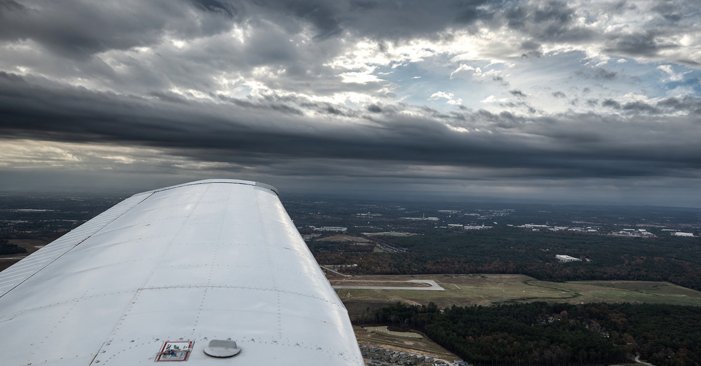
The first thing that we must understand is that “weather” is temporary. Weather is constantly changing; the flow is always moving. That is why it is essential to constantly update your weather when flying regularly.
Weather, like a cake, is made of several different ingredients. These include temperature, pressure, wind, humidity, precipitation, and clouds. Understanding each of these ingredients will give you an idea of what is happening in the atmosphere and along your anticipated flight route.
Let’s look at each of these elements individually.
Temperature
The biggest problem that most pilots have with temperature is converting between Celsius and Fahrenheit. If you can’t remember the conversion formula, the easiest thing to do is to memorize key temperatures, such as that water freezes at 32°F or 0°C. Your average body temperature is 98.6°F or 37°C. Water boils at 212°F or 100°C. Knowing these basic facts will help you in estimating the conversion between Fahrenheit and Celsius.
Now that we know how to convert from Fahrenheit to Celsius, we need to understand how temperature affects the weather. Warmer air rises, and air from cooler regions moves into the newly formed void. As this occurs, it creates wind. The greater the temperature difference, the stronger the winds, whereas lower differences in temperature will cause weaker winds. These winds ultimately end up moving the various air masses around the globe.
Pressure
This is the air pressure or force per unit exerted on the earth’s surface. Pressure is what moderates the density of the air that surrounds us. As the density of the air molecules increase, so does the pressure exerted on the earth’s surface. To understand pressure, we must understand the difference between low-pressure and high-pressure systems. Low-pressure systems are depressions, and the atmospheric pressure in that area is lower than in the surrounding area. Because of this, we usually experience warmer air, higher winds, and a general lifting of the air mass, with the result of clouds, rain, and turbulence. High-pressure systems are where the atmospheric pressure is greater than the surrounding area. As the air up high becomes cooler, its density increases, and it descends towards the ground. As more of these air molecules descend towards the ground, they fill the space left from the low-pressure areas (remember, that air was rising). When this happens, most of the water vapor in the atmosphere evaporates. This is why high-pressure systems are associated with calmer weather and clear skies.
Wind
We have discussed the vertical movement of air masses; now it’s time to discuss wind. Wind is caused by the uneven heating of the earth by the sun. Winds usually blow from high-pressure areas to low-pressure areas. This means that the winds are blowing from the colder areas to the warmer areas. The layer between both of these is called a boundary layer, and this is where we see fronts form. General aviation pilots need to understand the cause and effect of wind during their flights. As you move into larger and faster airplanes, additional wind factors such as prevailing winds and jet streams affect flight in the upper altitudes.
Humidity
When we think about an air mass, we must consider the amount of moisture in that air mass. This water vapor or moisture is called humidity. The maximum amount of moisture that air can hold at a given temperature is called “relative humidity.” Colder air, because of its density, holds less moisture than warmer air. When the air cannot hold any more moisture, it is said to be “saturated.” This means that any additional moisture will become precipitation. As warm, humid air rises, it cools, and clouds and precipitation appear.
Clouds
There are many types of clouds that we see in the atmosphere at any given time or day. Some of these produce precipitation, while others don’t. Cumulonimbus clouds are some of the most severe, and they produce thunderstorms and heavy precipitation. These can be identified by their towering vertical development and anvil-shaped top. Nimbostratus clouds will produce long and steady precipitation conditions. Wispy-type cloud layers are generally a sign of mild weather.
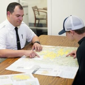
Before each flight you should print and review the weather charts at www.aviationweather.gov. Once you have reviewed the charts, call flight service for a briefing and compare what they are telling you to the charts that you just printed. As you look at each of the factors that we discussed above you will begin to see the full weather picture of your flight. This should also provide you with the confidence that you need to make the “go/no go” decision for your flight.
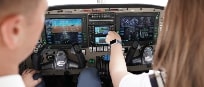
What is most important is that you will be making this decision based on your knowledge. The additional tools that you have on your phone, tablet, and computer can now be used to monitor the conditions to ensure that the weather pattern is consistent with your planning, rather than the primary tool used to make your decisions and conduct your flight.
Remember, in the case of aviation, a little knowledge goes a long way in staying safe.